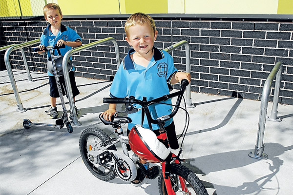
MORE Maribyrnong residents are choosing pedal power to get around, according to the latest annual Super Tuesday bike counts, leading to calls for better cycling infrastructure.
Overall, the 2012 bike counts, conducted by Maribyrnong Council from 7-9am on March 6, found 3815 riders.
It includes counts at a number of new locations.
Comparing only the sites counted this year and last, there was an increase of 248 riders, or 10.7 percent.
The most popular routes for commuters to the city are via Hyde and Whitehall streets and along the Maribyrnong River trail and down Dynon or Footscray roads.
The addition of bike lanes on Hyde Street between Somerville Road and Napier Street has led to double the number of cyclists using it.
Yet most still prefer using Whitehall Street where an average of one cyclist every 30seconds during the morning peak period tries to cross the busy intersection with Parker Street, which has been revealed as Maribyrnong’s most dangerous.
See the bike count locations here.
More than 250 cyclists from the northern reaches of the municipality used the increasingly popular Maribyrnong River trail.
The notorious Shepherd Bridge acts as the narrow stem of the funnel, with 567 riders counted on the main route from the west to the city.
Williamstown resident Kat Clancy said she had been commuting to the city via Footscray for about two months.
‘‘I remember the first time I rode on Shepherd Bridge and was thinking to myself, is it really worth it?
‘‘I could not believe that a designated bike path on a bridge had street lights blocking path, poorly maintained path with cracks and holes in it and good luck if you fell as a result of these problems as you would very likely fall into the path of a truck as you are so close to the road. Riding on the bridge while a truck is going past is very, very scary.’’
She said she was finding riding on the road with traffic was safer than using bike paths, but that inevitably led to frustrated drivers and nasty crashes.
‘‘I think the answer is more designated bike lanes, not half-arsed attempts at bike paths.’’
University of Melbourne urban planning lecturer John Stone, currently on a research fellowship in Munich, Germany, said city bike travel accounted for almost one-fifth of trips (18percent) in an area the size of Melbourne’s public transport zone 1 with a population of about 1.5 million.
‘‘As the head of City Planning said at a conference last week: ‘In any day or week in Munich, everyone is a pedestrian, and almost everyone rides a bike’.’’
Dr Stone said Munich city planners had created a dense network of safe and continuous routes based on dedicated space for cyclists riding through intersections and lowering traffic speeds to 30 km/h. Neither factor had yet been achieved in Melbourne, Dr Stone said.
VicRoads, which has responsibility for Whitehall Street, has previously said it has submitted a funding proposal for bicycle/pedestrian-operated signals and line marking.
Acting regional director Damien Afxentis said it was investigating improvements to the Footscray Road path between Docklands Drive and the Maribyrnong River including path widening and cyclist-operated signals at crossing points.
‘‘Proposals to improve safety for cyclists at Shepherds Bridge and other intersections along Footscray Road form part of these investigations.’’
VIDEO: An average of one cyclist every 30 seconds during the morning peak period tries to cross the Parker and Whitehall streets intersection, which has been revealed as Maribyrnong’s most dangerous. Click here to see The Greens’ video of the intersection.